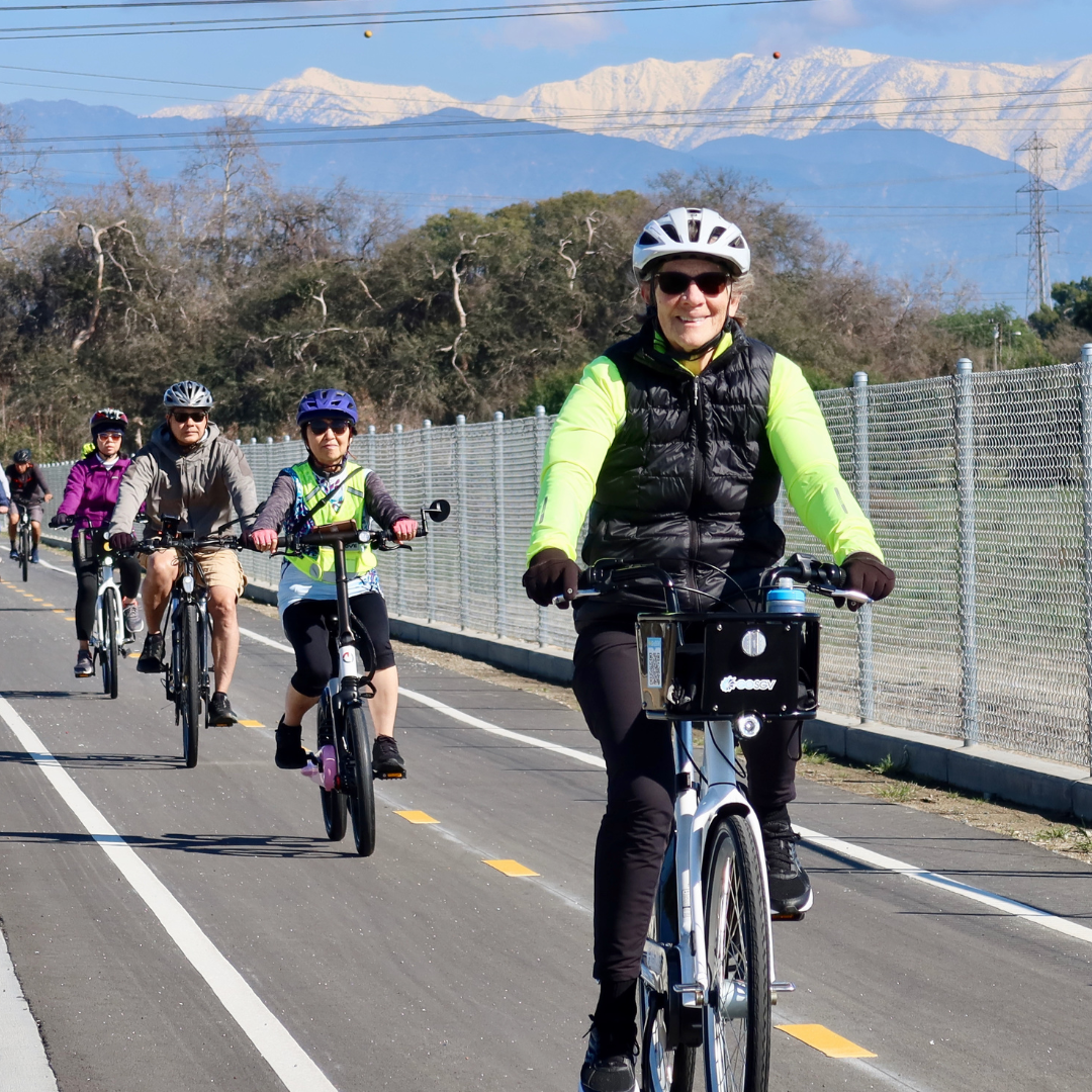
An area of approximately 374 square miles that serves as the eastern gateway to Los Angeles County, the San Gabriel Valley (SGV) is home to more than 2 million residents living in 31 incorporated cities and unincorporated communities. Most SGV communities are geographically small, suburban in nature, and offer little in the way of bicycling and pedestrian infrastructure. Few have dedicated bicycle lanes, and many do not have bicycle, pedestrian, and/or Safe Routes to School (SRTS) plans. Residents that wish to walk or bike as a means of healthy, active transportation must therefore navigate streets that have not been designed to accommodate them.
Over the past several years BikeSGV and close partners such as Day One have been working hard to close the bicycle planning gaps evident in the map above. The SGV Bike Master Plan Project, launched in July 2012, was the first major phase of this effort. Funded by the LA County Department of Public Health in 2013, the project has allowed 5 SGV Cities among those highlighted in yellow above -- Monterey Park, Baldwin Park, San Gabriel, El Monte and South El Monte -- to draft their first bike master plans. BikeSGV is excited to report that phase 1 is almost complete -- final plans should be considered for adoption in the 5 partner cities in September 2014 -- and even more excited to report that concrete steps have already been taken to launch phase 2.
SGV Regional Active Transportation Planning Initiative
On May 20th, 2014 BikeSGV organizers mailed away 6 copies of an ambitious proposal -- the San Gabriel Valley Regional Active Transportation Planning Initiative -- that would build upon and accelerate ongoing efforts to realize a more bike-friendly region. Developed by BikeSGV in partnership with the San Gabriel Valley Council of Governments (lead applicant) and the Cities of Duarte, Irwindale, Glendora, La Puente, Monrovia, and Montebello, the proposed multi-jurisdictional initiative is composed of the following elements, selected based on their ability to positively impact some of the region’s most pressing safety, public health, and environmental problems:
- Active Transportation Plans to provide the communities of Irwindale, Glendora, La Puente, Monrovia, and Montebello their first bicycle and pedestrian master plans.
- Regional Greenway Network Plan to formally study Class I path feasibility along the over 80 miles of undeveloped storm channels and washes that crisscross the San Gabriel Valley.
- Regional Wayfinding to design signage for and a plan to link together existing-, in development-, and proposed- city level bicycle routes.
- Evaluation to collect the first bicycle and pedestrian data for partner communities and existing regional County-controlled bikeways along the Rio Hondo and San Gabriel River paths.
- Education and Encouragement programming to provide residents of the project area free bicycle safety and maintenance education.
1) Active Transportation Plans
While a growing number of Cities in the region have recently adopted or are in the process of developing local bicycle master plans, several disadvantaged communities in the San Gabriel Valley have yet to do so. This has left significant gaps in the region’s envisioned active transportation network, a particular problem for local bicyclists who are likely to travel across multiple San Gabriel Valley communities when riding to work, school, transportation hubs, or other activity centers.

2) Regional Greenway Planning: Planning an SGV Active Transportation Superhighway
One of the largest barriers to greater active transportation in the SGV is a lack of safe active transportation infrastructure connecting the region’s many communities. This fact is underlined by local and national data on public preference for physically-separated protected bike- and walkways.
Fortunately, the region is crisscrossed with storm channels, washes, and creeks that feed into existing Class I Multi-Use Bicycle and Pedestrian Paths along the San Gabriel and Rio Hondo Rivers. Flanked by gravel service roads, most of these waterways appear well-suited for Class I Multi-Use Bicycle and Pedestrian Paths. A few, such as the Eaton Wash, San Jose Creek, and Big Dalton Creek, have already been identified by County and City officials (e.g., Los Angeles County Bicycle Master Plan) for Class I infrastructure development. But over 50 miles of additional waterways have yet to be formally studied, providing a golden opportunity to create a blueprint for a truly regional network of protected bicycle and pedestrian infrastructure connecting new neighborhoods, schools, and entire communities.
Thanks to growing support for transforming these waterways into green and inviting transportation corridors among residents, stakeholders, staff, and elected officials, funding to construct identified projects is also being sought by the SGVCOG in partnership with the Cities of Pomona and Baldwin Park, the County of LA, and BikeSGV. The collaborative submitted an ambitious $20+ million proposal to begin greenway construction on the San Jose Creek and Big Dalton Wash, as well as construct protected on-street bike lanes on Ramona Blvd. in Baldwin Park and along Rosemead Blvd near Legg Lake.
The Greenway Planning element would build upon these first steps towards a grander vision of creating an SGV Active Transportation Superhighway System by 2025 by formally studying the feasibility of expanding the existing Class I river network along waterways such as the Arcadia Wash, Little Dalton Wash, Live Oak Wash, Santa Anita Wash, San Antonio Creek, Walnut Creek and Valinda Wash, each of which initial review indicates has strong potential for greenway development.
A complete 130+ mile greenway network of protected active transportation infrastructure would connect local residents within ¼ mile of nearly 120 schools, 15 downtown districts, 14 major transit centers (e.g., Gold Line, Metrolink, El Monte Transit Center), and the largest employment hub in the region in the City of Industry.
3) Regional Route Identification and Wayfinding
The development of a regional route and wayfinding signage system is a key step towards facilitating active transportation across the San Gabriel Valley’s many distinct communities. With the proposed city-level active transportation plans set to close several of the final gaps in bicycle planning in the region, this step will also build upon and help complete the work of existing bicycle plans.
Regional wayfinding signage and route identification will provide a blueprint for implementing a comprehensive, unique regional signage system for the SGV. Funding would allow the SGVCOG and partners to design distinct signage and identify key regional routes composed of existing and planned bikeways. Other regional organizations around the country and world have developed similar systems with great success, adding a regional layer to local and national bicycle route systems.
4) Evaluation
Over the past decade, only a few San Gabriel Valley Cities (e.g., Temple City in 2012 with BikeSGV’s support) have collected bicycle and/or pedestrian data. The ongoing 5-City SGV Bike Master Plan project includes the region’s most ambitious active transportation evaluation component to date, consisting of automated and manual bike counts, manual pedestrian counts, community street audits, public opinion surveys, and focus groups.
If funded, this project would build upon recent efforts by implementing the first standardized bike/ped counts in the six project cities, as well as along the region’s existing Class I paths along the San Gabriel and Rio Hondo Rivers. Bicycle counting techniques would be employed to obtain quantitative and qualitative data as it has for evaluation of the 5-City SGV bicycle master plan project. Count data would be made available to the community, Metro, SCAG, and other interested parties via the County’s Bike Count Data Clearinghouse and a final data analysis report.
Other tools that would be employed include:
- Community Surveys collected at community events and an online version made available for distribution via City communication channels and the project website.
- Community Street Audits conducted by bike and foot with local residents.
- Focus Groups of key stakeholders such as middle/high-school aged youth, transit-dependent residents, and grade school kids/parents to gather data from targeted groups.
5) Education and Encouragement
The final proposed strategy consists of Education and Encouragement programming, primarily the hosting of free bicycle safety and education courses in partner Cities, bicycle safety checkpoints, and Basic Bike Maintenance workshops. Classes would be offered in multiple languages (e.g., Spanish, Mandarin) to cater to significant non-English speaking populations within the target communities. To date, access to free safety and encouragement programming has not been available with any regularity in the 6 cities of the project areas.
Focus would also be placed on educating youth and young adults (12-20) as there has been little dedicated bicycle safety education programming to minors in the project area and the broader region. In 2013, BikeSGV provided League of American Bicyclists’ nationally recognized “Need to Know” curriculum over a dozen SGV communities as part of a Metro pilot project. However, the classes were limited to those aged 18 and over. This effort would address this shortcoming by funding 87 courses for residents aged 12 and up. It would also encourage participation among key community stakeholders such as City and school district staff (e.g., transportation department, local law enforcement, teachers) whose stature and credibility in the community grant them disproportionate influence among residents of all ages. All participants would receive a free bicycle helmet, reflective tape, and lights.
Bicycle Safety Checkpoints - In tandem with bicycle education/encouragement classes for community members, BikeSGV will conduct outreach and promote state law and safe riding techniques by conducting at least 12 nighttime intercepts (2 per partner City) along routes frequented by local bicyclists. Cyclists riding without lights will be informed of the CA Vehicle Code as it pertains to bicycle lights and offered a set of free lights, reflective tape, safety education materials, and English/Spanish/Chinese language flyers about upcoming classes, workshops, and active transportation plan development.
Mobile Bicycle Repair Workshops - The third component seeks to lower the barriers to cycling for the most price sensitive segment of the population – youth and low-income community members – who too often cannot afford the cost of purchasing/maintaining a bicycle. Utilizing BikeSGV’s mobile pit stop trailer, one-hour Basic Bike Maintenance 101 workshops would be provided in the project area.

Next Steps
Developed with input received from local residents and stakeholders, the above-listed strategies were selected to capitalize on existing momentum in the San Gabriel Valley around active transportation. Formal word on whether they will be implemented in the short term should be forthcoming, with funding decisions for the CA-ATP Program expected in September.