On Thursday, June 27th, the Metro Board of Directors formally adopted a "First/Last Mile Plan" for the Foothill Gold Line Extension Phase 2B.
Covering future stations in the Cities of Glendora, San Dimas, La Verne, Pomona, and Claremont, the plan is the product of over 12 months of study and incorporates the feedback and input of over 1500 local residents. It is broken into five primary chapters, one for each station city. Each chapter includes detailed station plans, summaries of public feedback, and recommendations for improving access to future stations.
For your viewing pleasure, the team at ActiveSGV has included highlights from one station chapter below, including images, maps, and project renderings. You can view/download the full plan here.
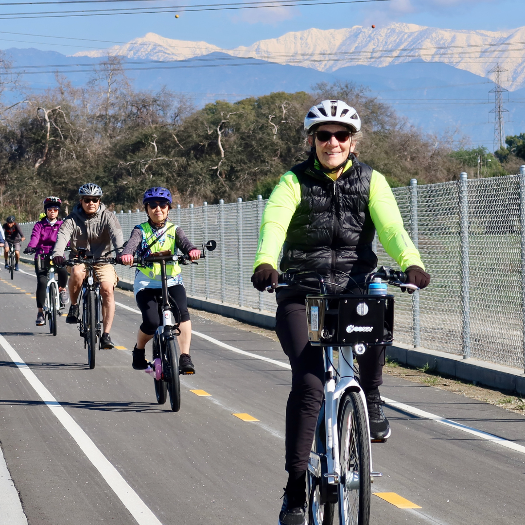
However, before we dive in, here is a quick review of some of the high-level takeaways from the five community walk audits and public input process (image below). Across the five cities, local residents strongly favored crosswalks and lighting improvements, shared/multi-use paths, pedestrian plazas, as well as secure bicycle parking and bike sharing. There was also a recognition that safe roll/bikeways should connect beyond a 1-mile radius of the station, as 3-5 miles was considered a distance that could reasonably be covered by rolling modes within 30 minutes.


Recommendations for the Pomona station are among the trickiest of the five stations, as the Gold Line will share space with the existing Metrolink station in the City, which is located between several high-speed arterials that are neither pedestrian-friendly nor easily accessible by other rolling modes.
The draft plan, therefore, recommends a bevy of improvements to improve conditions for people on foot, bike, skate, and other rolling modes. Thanks to ample street width, existing bike/rollways on Garey Ave. and Bonita Ave. could be upgraded to make them safer and more comfortable for people of all ages, improving the accessibility of the future station.

A proposed new crosswalk with a pedestrian safety island at the track crossing and Garvey Ave., as well as new multi-use paths to the station from White Ave. and Garvey Ave., would further improve access from two high-speed, heavily trafficked arterial streets.

North-south access would also be improved by the extension of the Thompson Creek multi-use path into the City of Pomona, a transformation that would provide an off-street corridor for people on foot, bike, skate, scooter, or other rolling modes.

A summary of public input within the plan also highlights a number of other opportunities to create a vibrant walkshed around the City's new station. Examples include new bus stops adjacent to the station to facilitate transit transfers, retail/food service at the depot, wider sidewalks on Garey Ave. south of the tracks, and new street trees to provide shade for people on foot.

To learn more about recommendations for the Pomona station - or Glendora, San Dimas, La Verne, or Claremont stations - check out the full First/Last Mile Plan for the Foothill Gold Line Extension here.